Prague’s Urban Development: Key Data and Future Challenges
The latest edition of the spatial planning data publication (ÚAP) provides a valuable foundation for future planning
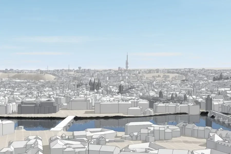
Prague now has over 1.3 million registered inhabitants – but in reality, many more people live, commute, and work here. This presents major challenges for urban development, infrastructure, and planning. The latest edition of the ÚAP spatial planning data provides a key foundation – offering fascinating insights and up-to-date trends.
The official population of the Czech capital has surpassed the 1.3 million mark – and the trend continues to rise. In fact, many more people reside in Prague than official figures suggest, as numerous individuals live here without a registered address. Each year, around 10,000 to 15,000 more people move to the city than leave it. In addition, there are some 250,000 to 400,000 commuters and countless daily visitors. This places significant demands on infrastructure, services, and urban planning.
At the same time, Prague makes a major contribution to the country’s economic strength. A quarter of the Czech Republic’s entire gross domestic product is generated here, and one in seven of the country’s employees works in the capital. “Prague’s strong economic base is an asset for the entire country,” emphasises Petr Hlaváček, Deputy Mayor responsible for urban development.
The current version of the spatial planning data publication (Územně analytické podklady – or ÚAP for short) offers a valuable planning tool and includes numerous insights into the city, such as:
- 39.2% of Prague’s area is used for agriculture.
- 46% of journeys are made by public transport, 23% by car, and 30% on foot or by bike.
- 55% of buildings have a maximum of two storeys.
This data is of great importance for urban development. “The ÚAP is a key tool for planning. It also clearly shows how closely Prague and the Central Bohemian Region are connected – they need to be considered together,” says Hlaváček.
New Priorities: Sustainability and Green Infrastructure
The current edition of the ÚAP reflects the latest socio-economic and ecological developments. These include topics such as urban development, demographic change, transport infrastructure, climate adaptation, and environmental protection.
New areas of focus include green infrastructure, public amenities, and an assessment of the Sustainable Development Goals – in line with the United Nations 2030 Agenda. This is complemented by a comprehensive catalogue of city districts and selected locations.
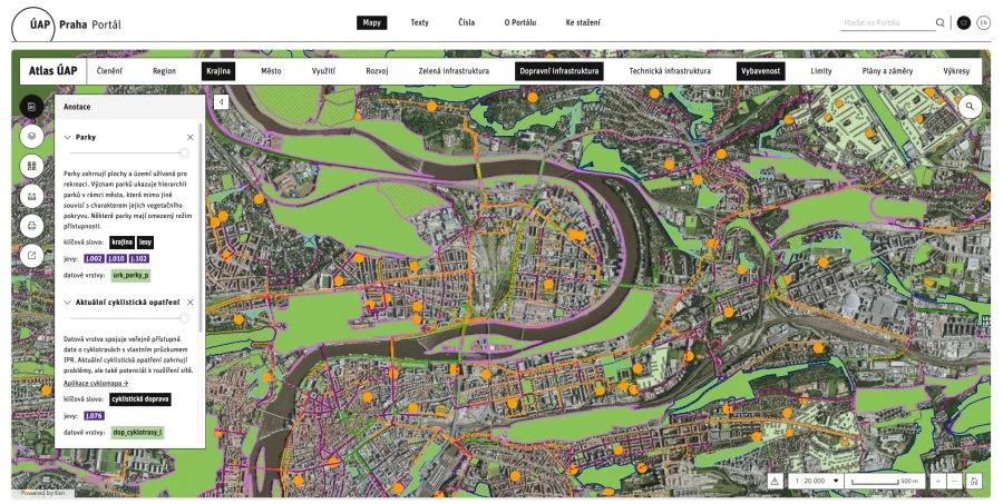
ÚAP Portal Now Online and Bilingual
All ÚAP content is now available through the newly redesigned online portal uap.iprpraha.cz, following the principles of open access. The digital platform offers interactive maps, statistical overviews, and centralised information in a user-friendly format – accessible to both experts and interested members of the public.
“For the first time, the portal is also available in English,” says Filip Foglar, Head of the Urban Development Department at Prague City Hall.
However, Ondřej Boháč, Director of the Institute for Planning and Development (IPR), also highlights current challenges: “The average duration of approval procedures for more complex projects in Prague is still significantly longer than in other European cities. This is due to the complicated administrative processes – despite legal reforms, there has yet to be a significant acceleration.”
The new edition of the ÚAP is published every four years and provides a detailed analysis of the condition and development of the urban area. The current edition comprises:
- 14 volumes with a total of 2,157 pages of text and illustrations
(including 390 maps, 238 diagrams, and 74 charts) - 567 spatial data layers
- 600 long-term statistical indicators
- 215 indicators derived from Prague’s strategic objectives
- 470 interactive maps in the “Atlas ÚAP” application
Prague Institute of Planning and Development (IPR Prague)
Website | Facebook | Instagram
More from Real Estate
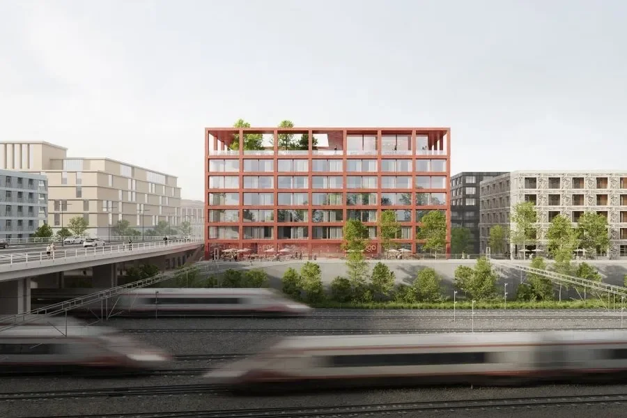
Florenc 21: New district around former railway site in Prague takes shape
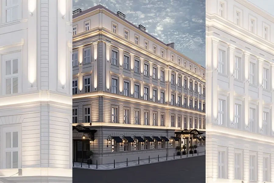
Prague’s Nové Město to Welcome a New InterContinental Luxury Hotel